
Also available in Português
Azores Map: All 9 Islands & How They Fit Together (Local Guide)
An Azores map explained by a local — all 9 island names, the 3 island groups, real distances, populations, and which Azores island to visit first on a trip.
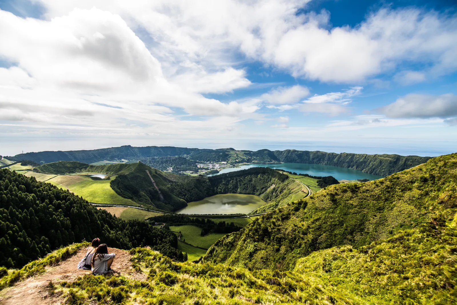
The Azores map looks deceptive. From a distance the nine islands appear close — a tight cluster in the middle of the Atlantic. In reality the archipelago stretches across 600 km of ocean, and the western and eastern islands sit on entirely different tectonic plates. The geography matters because it shapes every Azores trip: which islands you can realistically combine, which ferry crossings are short hops vs full-day expeditions, and which “nearby” island is actually a separate plane ticket away.
I live on São Miguel and I cross the channel to other islands three or four times a year. This guide is the Azores map I’d hand to a friend planning their first trip — every island named, every group explained, with real distances, populations, and the local opinion on which to visit first.
If you’re still working out where the Azores even are in the world, the where are the Azores guide covers that orientation. This one is the map of the archipelago, not the map to it.
The Azores map at a glance
The nine islands sit in the middle of the North Atlantic, stretched across 600 km in a northwest-southeast line. Closer to Portugal than to North America, but only just.
The visual logic of the Azores map is three island groups:
- Eastern Group — São Miguel and Santa Maria, closest to Europe
- Central Group — Terceira, Graciosa, São Jorge, Pico, Faial (5 islands clustered together)
- Western Group — Flores and Corvo, far to the northwest, geologically on the North American plate
If you draw a line from São Miguel to Corvo, you cover roughly the same distance as Lisbon to Madrid. The islands are not a tight cluster.
The 9 islands of Azores: names and basic stats
For trip planning, here are the nine islands of the Azores ranked by population — which roughly correlates with how visitor-ready each one is.
| Island | Group | Area | Population (main town) |
|---|---|---|---|
| São Miguel | Eastern | 744.7 km² | 137,335 (Ponta Delgada) |
| Terceira | Central | 403 km² | 56,000 (Angra do Heroísmo) |
| Faial | Central | 173 km² | 14,500 (Horta) |
| Pico | Central | 444 km² | 13,600 (Madalena) |
| São Jorge | Central | 246 km² | 9,500 (Velas) |
| Santa Maria | Eastern | 97 km² | 5,636 (Vila do Porto) |
| Graciosa | Central | 62 km² | 4,245 (Santa Cruz) |
| Flores | Western | 143 km² | 3,791 (Santa Cruz das Flores) |
| Corvo | Western | 17 km² | 430 (Vila do Corvo) |
São Miguel alone holds 55% of the total Azorean population. The next four islands combined (Terceira, Faial, Pico, São Jorge) are another 38%. The four smallest islands together have fewer than 15,000 people.
Eastern Group: São Miguel + Santa Maria
The two easternmost islands. Closest to mainland Portugal (1,500 km from Lisbon to Ponta Delgada), warmest sea temperatures, most populated.
São Miguel — the main island
The largest island in the archipelago and the answer to “where should I go on a first Azores trip” for most travellers. São Miguel has the international airport (PDL), the regional capital (Ponta Delgada), and the densest concentration of headline experiences:
- Sete Cidades — twin volcanic crater lakes, the postcard image of the Azores
- Furnas — geothermal valley with hot springs and underground-cooked stew
- Lagoa do Fogo — central crater lake, the best easy hike on the island
- Tea plantations — Chá Gorreana is the oldest tea plantation in Europe (1883)
- Whale watching — year-round, with peak season in spring
For a São Miguel-focused itinerary, the 5-day São Miguel plan is the local-tested version.
Santa Maria — the warm, sandy southeastern outlier
Santa Maria is the southernmost and oldest Azorean island (around 6 million years old vs São Miguel’s 4 million). The climate is hotter and drier than the rest of the archipelago, and it’s the only Azorean island with white-sand beaches — Praia Formosa is the standout.
- Hotter and drier than São Miguel by 2-4°C on average
- White-sand beaches (rare in the volcanic Azores)
- Pico Alto, the highest point at 587m
- “Barreiro da Faneca” — the Red Desert, a striking ochre landscape
- Population only around 5,600, so quiet even in summer
For travellers who want beach time alongside volcanic landscapes, Santa Maria + São Miguel is a sensible combination.
Central Group: Terceira, Graciosa, São Jorge, Pico, Faial
Five islands clustered roughly in the middle of the archipelago. Connected to each other by frequent SATA flights and (for the Triangle: Pico-Faial-São Jorge) by year-round ferries. Most multi-island Azores trips include one Central island.
Terceira — the historic capital
Second-largest by population. Home to Angra do Heroísmo, a UNESCO World Heritage city and the original capital of the Azores. Different feel from São Miguel — more terra-cotta tiles, more 16th-century baroque, more history visible in the streets.
- Angra do Heroísmo UNESCO city
- Algar do Carvão — the most spectacular lava tube in the Azores
- Alcatra — Terceira’s signature slow-baked beef stew (full breakdown in the alcatra guide)
- Praia da Vitória — large sandy beach with calm waters
- Lajes airport (TER) handles seasonal direct US flights and regular Lisbon service
Pico — the mountain island
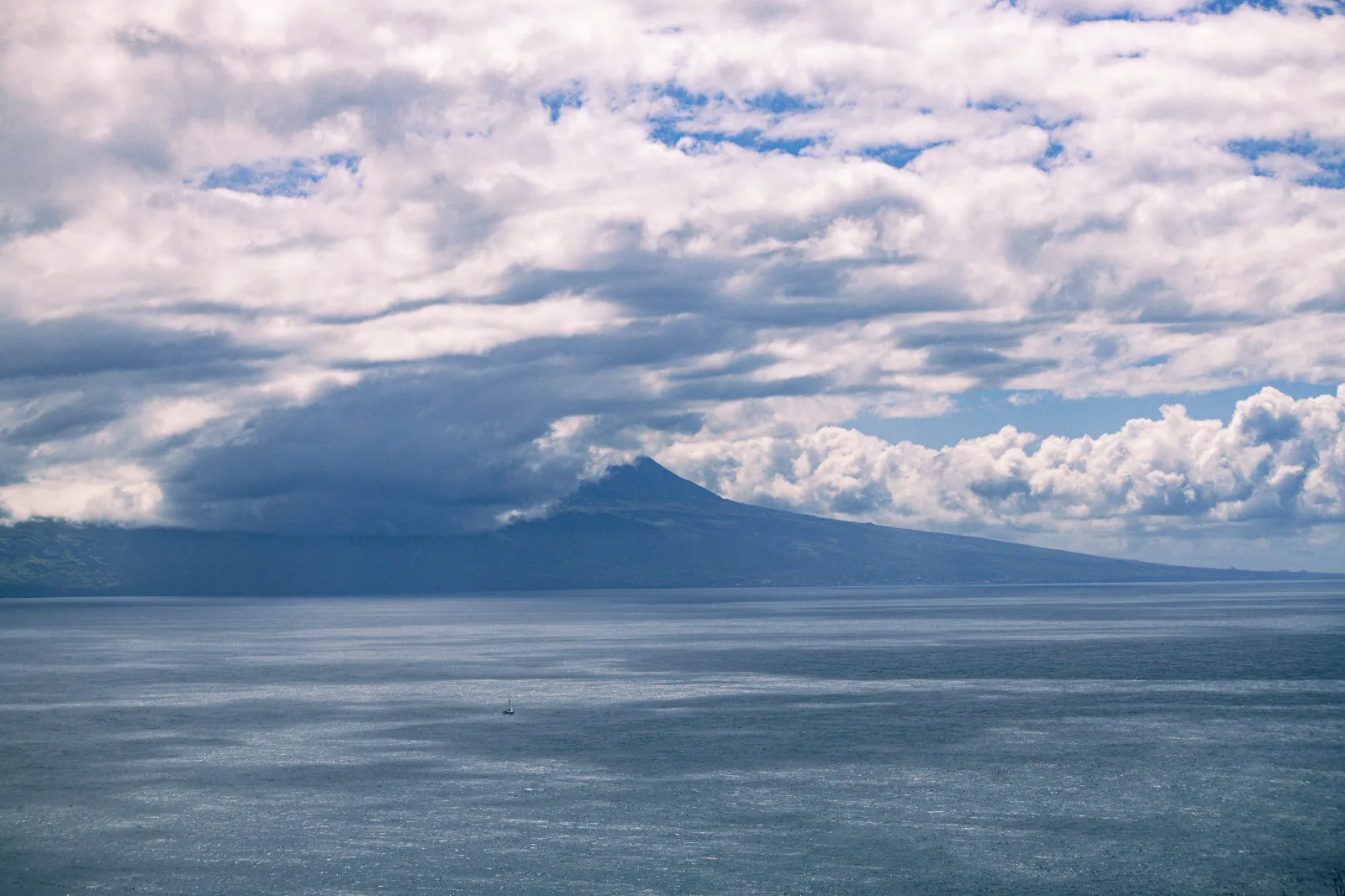
The volcano. Pico Mountain at 2,351 metres is the highest point in Portugal, taller than anything in Madeira or on the mainland. The island’s south coast is a UNESCO-listed vineyard landscape — vines grown in dry-stone lava walls (currais) since the 16th century.
- Mount Pico — full-day summit hike
- UNESCO vineyards — visit the Lajido lava-stone walls
- Whale watching — historic whaling capital, now world-class watching from Lajes do Pico
- 6 km from Faial across the channel — 30-min ferry runs daily
Faial — the yacht harbour
Smaller than Pico but with the most cosmopolitan town in the archipelago: Horta, the famous transatlantic yacht stopover. Sailors painting their boat names on the marina walls is a Faial tradition.
- Capelinhos volcano — erupted in 1957, added a square mile of new land, now a stark moonscape
- Horta marina — Atlantic crossing waypoint, painted seawall murals
- Caldeira do Faial — large central caldera, can hike around
- Hydrangeas — Faial is famous for blue hydrangeas in summer
São Jorge — the cheese island
A long, narrow island (54 km long, 7 km wide) defined by fajãs — flat coastal platforms created by lava flows or landslides. Over 40 fajãs along the coast, many still farmed. Queijo São Jorge is one of Portugal’s most celebrated aged cheeses.
- 40+ fajãs (coastal platforms) — many accessible by hiking trails
- Queijo São Jorge — sharp aged cheese, available across the Azores
- Less touristic than Pico or Faial, more agricultural feel
- Connected to Pico and Faial by ferry (Triangle Islands)
Graciosa — the small flat one
The second-smallest inhabited island. Called the “white island” because of its limestone outcrops and white-painted windmills. Lower elevation (highest point 405m) makes it sunnier and drier than its neighbours.
- Caldeira de Graciosa — extinct crater with the famous Furna do Enxofre sulphur cave
- Traditional windmills (some converted to small accommodations)
- Quiet rural feel — fewer than 5,000 people
- UNESCO Biosphere Reserve
Western Group: Flores + Corvo
The two westernmost islands sit on the North American tectonic plate — geologically already in the Americas, even while politically European. Most remote, hardest to reach, smallest population. Often skipped on first trips. Worth the effort if you have 7+ days.
Flores — the western flower garden
Flores is the westernmost island in Europe (excluding the small uninhabited islets just past it). Named “Flores” (Flowers) for the wildflowers and hydrangeas that explode across the island in summer.
- Rocha dos Bordões — 20-metre basalt columns surrounded by hydrangeas
- Poço do Bacalhau — 90m waterfall plunging into a natural pool
- 40+ canyons — canyoning capital of the Azores
- UNESCO Biosphere Reserve since 2009
- Population around 3,800
Corvo — the smallest
17 km², around 430 people, one village, one road. The entire island is essentially one volcano (the Caldeirão) with a small flat plain on the south coast where the village sits. Visiting feels like time travel.
- Caldeirão — central volcanic crater with green pastures and small lakes inside
- Vila do Corvo — the only village
- Reached by 35-minute ferry from Flores or small plane from PDL
- Often visited as a day trip from Flores
Azores islands at a glance: which one for which trip
The honest “which Azores island to visit” matrix, based on what each one delivers best.
| Trip type | Best island | Why |
|---|---|---|
| First Azores trip, short | São Miguel | Most highlights, easiest logistics |
| First trip, longer | São Miguel + Pico or Terceira | Two islands, two different feels |
| Beach holiday | Santa Maria | Only sandy-beach island |
| Mountain hiking | Pico | Portugal’s highest peak + UNESCO vineyards |
| Sailing / yacht culture | Faial | Horta marina, Atlantic crossing capital |
| Cheese + dairy + agritourism | São Jorge | The cheese island |
| Historic city break | Terceira | UNESCO Angra do Heroísmo |
| Quiet rural escape | Graciosa or São Jorge | Smaller, fewer tourists |
| Far-from-everything adventure | Flores + Corvo | Most remote, dramatic landscapes |
| Multi-island in 7-10 days | São Miguel + Pico + Faial | The Triangle add-on, well-connected by ferry |
For trip-length specific planning, the how many days in the Azores guide walks through the realistic options.
How the Azores islands connect
A practical cheat sheet for inter-island travel:
| Route | Mode | Time | Cost |
|---|---|---|---|
| Madalena (Pico) ↔ Horta (Faial) | Ferry | 30 min | €4 |
| Pico ↔ São Jorge | Ferry (seasonal) | 1h 30m | €15 |
| Faial ↔ São Jorge | Ferry (seasonal) | 2h | €15 |
| PDL (São Miguel) ↔ Pico | SATA flight | 50 min | €60-€140 |
| PDL ↔ Terceira | SATA flight | 45 min | €60-€140 |
| PDL ↔ Faial | SATA flight | 50 min | €60-€140 |
| PDL ↔ Flores | SATA flight | 1h 40m | €100-€200 |
The Pico-Faial ferry is the single best transport hack in the Azores — €4 for what would otherwise be a €60+ flight. If your itinerary includes both islands, take the ferry. The full breakdown is in the airport guide and how to get to the Azores.
Common confusions about the Azores map
1 — All 9 islands are similar. No. Santa Maria is hotter and drier than the rest. Pico is dominated by a 2,351m volcano. Corvo has 430 people. São Miguel has 137,000. Each island is genuinely distinct.
2 — You can see them all in a week. No. Inter-island flights eat half-days at each end. Doing 4+ islands in 7 days means you spend most of the trip in airports and ferries. 2 islands in 7 days, 3 islands in 10 days is the realistic pace.
3 — The Western Group is just like the Central Group. No. Flores and Corvo sit on the North American plate, are 600 km from Santa Maria, and require their own SATA flight from PDL. They feel different and they’re a real commitment to add.
4 — Pico and Faial are the same island. Easy mistake — they’re 6 km apart and connected by frequent ferry. But they have very different personalities. Pico is the volcano + vineyards. Faial is the marina + Capelinhos volcano + hydrangeas. Visit both if you can.
5 — São Miguel is “just the airport island.” Some travellers want to skip São Miguel for the smaller islands assuming the smaller ones are “more authentic.” São Miguel has Sete Cidades, Furnas, and Lagoa do Fogo — three of the five most spectacular sights in the archipelago. Don’t skip it.
If you’d rather skip working out the inter-island sequence yourself, Pocket Guide Azores builds an Azores map-based itinerary for you — picking which islands to combine, what order to visit them in, and which inter-island legs are flights vs ferries — based on your dates and trip length.
The bottom line
The Azores map is best understood as three groups, not nine equally-spaced dots. São Miguel is the entry point for almost every trip. The Central Group (Pico, Faial, São Jorge, Terceira, Graciosa) is where multi-island travel happens. The Western Group (Flores, Corvo) is for travellers who already know they want the most remote experience.
Pick 1-3 islands for a first visit, not 5-9. Use the table above to match islands to your trip type. And accept that no single Azores trip sees the whole archipelago — that’s why people come back.
What to read next
- Where are the Azores? — orientation guide if you’re new to the archipelago
- Pico Island guide — the volcano + vineyard island in detail
- Azores airport guide — every passenger airport explained
- How to get to the Azores — flights, time zones, ferry myths
- How many days in the Azores — trip-length planning by island combo
Frequently asked questions
How many islands are in the Azores? +
Nine inhabited islands plus a handful of uninhabited islets. The nine islands are São Miguel, Santa Maria, Terceira, Graciosa, São Jorge, Pico, Faial, Flores, and Corvo. They're grouped into three clusters by location: the Eastern Group (São Miguel + Santa Maria), the Central Group (Terceira, Graciosa, São Jorge, Pico, Faial), and the Western Group (Flores + Corvo). The total population is around 247,000, with more than half living on São Miguel.
What is the largest island of the Azores? +
São Miguel, at 744.7 km² and around 137,335 inhabitants. It's nearly twice the size of the next-largest island (Terceira, 403 km²) and home to roughly 55% of the total Azorean population. São Miguel also has the international airport, the regional capital (Ponta Delgada), and the most visited attractions — Sete Cidades, Furnas, and Lagoa do Fogo. For most first-time visitors, São Miguel is the right answer to 'which Azores island should I see?'
What is the smallest Azorean island? +
Corvo, at just 17 km² and around 430 inhabitants. It's the smallest inhabited island in the Azores and the most remote — sitting in the far northwestern corner of the archipelago, geologically on the North American tectonic plate. The island has one village (Vila do Corvo), one road, and one volcanic crater (the Caldeirão) at its centre. Most visitors arrive on a day trip from Flores by ferry or small plane.
Which Azores islands are closest to each other? +
Pico and Faial — only 6 km apart at the closest point. The Madalena (Pico) to Horta (Faial) ferry crosses in 30 minutes and runs multiple times daily for €4. São Jorge sits about 20 km north of Pico and Faial, and the three together are known as the 'Triangle Islands' (or simply 'the Triangle') because of their proximity. The maximum distance in the archipelago is roughly 600 km, between Santa Maria in the southeast and Corvo in the northwest.
What's the best Azores island to visit first? +
São Miguel, by a wide margin. It has the international airport, the densest concentration of headline experiences (Sete Cidades, Furnas, Lagoa do Fogo, whale watching, thermal pools), and the easiest logistics — one rental car covers everything. Most first trips are 5-7 days on São Miguel only. Add a second island (Pico or Terceira) once you've seen São Miguel and want a different kind of Azorean experience.
Are all 9 Azores islands inhabited? +
Yes, all nine are inhabited, though Corvo only has around 430 residents. The two smallest inhabited islands are Corvo (17 km², ~430 people) and Graciosa (62 km², ~4,245 people). There are also several uninhabited islets — small rocks and former volcanic cones — scattered around the archipelago. The Ilhéu de Vila Franca off São Miguel is the most famous one. Total Azorean population across all islands is around 247,000.
Which Azores island has the best beaches? +
Santa Maria, by a clear margin. It's the only Azorean island with significant white-sand beaches — Praia Formosa is the most famous — and has a hotter, drier climate than the rest of the archipelago. Locals call it 'the Algarve of the Azores.' São Miguel has volcanic black-sand beaches and natural rock pools (Praia da Água d'Alto, Praia Formosa Vila Franca, Mosteiros). The other islands have either rocky coastlines or natural sea pools rather than sand beaches.
How do I read the Azores map for trip planning? +
Start with the three groups: Eastern (São Miguel, Santa Maria), Central (the 5 middle islands), Western (Flores, Corvo). Multi-island trips usually combine São Miguel with one Central island — Pico, Faial, or Terceira are the practical choices. The Western Group (Flores + Corvo) is dramatic but logistically harder to combine with the rest, requiring extra flights. Don't try to see all 9 islands on a first trip — pick 1-3 and do them properly.